A Shelter from the Storm
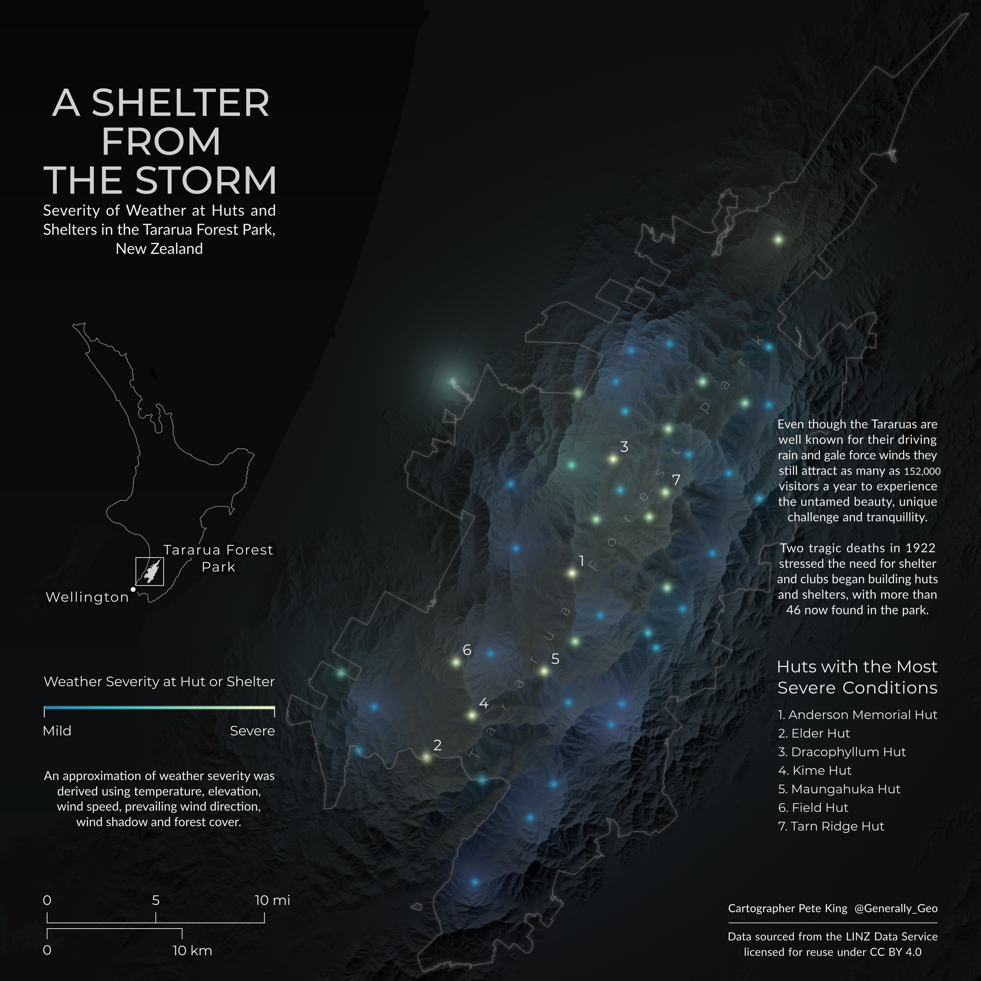
Created for "Shelter: An Atlas" by Guerilla Cartography, this map was an experiment with lighting in blender to create a feeling of the warmth radiating from huts. It was a technical map to create involving the use of raster calculator in QGIS to create layers of information such as windspeed, forest cover, and wind shadow, which ultimately created an approximate weather severity. This was styled using a colour blind friendly palette and transfered to blender using a python script to identify coords and colours for hut points. The huts in the Tararua's have an incredibly interesting past, while the mountains themselves combine an untamed beauty with an exhilarating challenge. I hope this map not only clearly shows the severity of weather at the huts but also draws you in helps you to understand the power of this landscape. A version of this map was also a finalist in the 2021 Geohipster calendar.